Weekly Gem #283, A wide spot in the road
Published 2/25/23
Location:
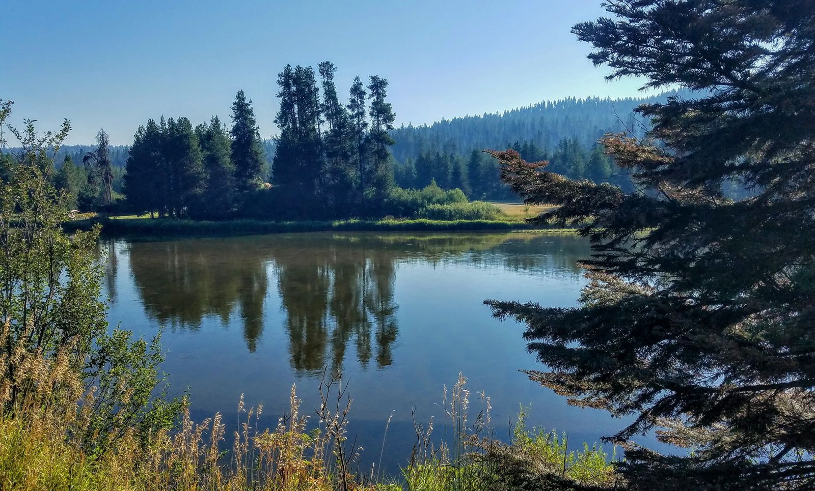
This hidden gem is located at a wide spot in the Payette River, about 2 miles south of Smith’s Ferry, ID (see the Clue Me! Map).
At the turn of the 20th century, railroads were being built throughout the west. From 1890 to 1900, 52,358,243 railroad ties (give or take) were used to build roughly 30,000 miles of new railroad track. Vast quantities of timber were cut from Idaho forests, and let fly downstream to the sawmill.
The Payette River above and below this placid section was steep and gnarly. Here near Smiths Ferry the river leveled out and slowed for a few miles. It made a perfect holding pond for thousands of logs. At the downstream end of this natural pond there was a temporary wooden dam (called a "splash dam") to hold the logs until the spring thaw filled the river with icy water. The splash dam would then be removed (perhaps with the help of dynamite!) and the logs would plummet down river. Significantly underpaid “River Pigs” would follow the tumbling logs downstream … if the logs started to jam, the River Pigs would deftly jump onto the bobbing and rolling logs and use their Peavey Poles to pry, rotate, and do whatever was necessary to free the logs.
As you might imagine, big log drives on the Payette only lasted for a few years. Not only was it incredibly dangerous for the River Pigs, but rapids of the Payette were so rough that many of the logs arrived at the mills damaged and unusable. Beyond that, logging in this way created a series of environmental calamities for the land, the river, and the neighbors.
Before long the timber companies came to their senses (to a degree) and brought railroads to haul their logs, the River Pigs took up safer pursuits, and the Payette once again became a great home to fish and wildlife (and the occasional photographer).
.........
Here's the hidden gem entry from our Clue Me! map.
Clue
A convenient place for a log jam
Description
A smooth stretch of the Payette River that, way back when, was a staging area for great numbers of logs.
Why It's Interesting
The Payette was once a thoroughfare for logs, harvested upstream, and moved toward Boise. This spot was naturally wider and slower, but made more so by the building of a small dam just downstream. There would be enough water piled behind that dam that when it was blown, all the logs would surge downstream, through the rapids below, and arrive near the sawmills at approximately the same time.


